Today’s bus trip was to Mount Saint Helens. We made all the stops. First one was the Visitor Center at the base of the mountain, next to Silver Lake.
Series of shots capturing the explosion of Mount Saint Helens.
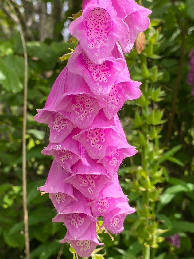
Since it was a long bus ride to even get here at the beginning, we walked the 1/2 mile wetlands trail to stretch our legs. This must be the perfect time of year for flowers as they were incredible.
Foxglove.
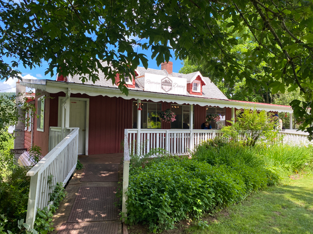
By the time we drove halfway up the mountain on Spirit Lake Highway, it was lunchtime. Our lunch stop was at Fire Mountain Grill, whose sign advertises that they are the last beer for 70 miles.
Fire Mountain Grill hugs the side of a mountain and overlooks the creeks below. Beautiful views and food was good.
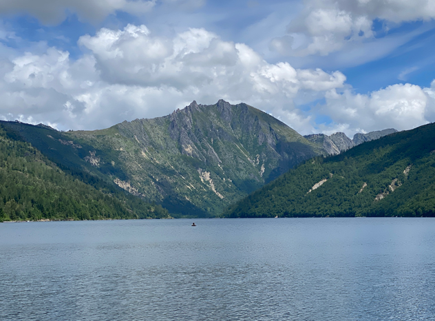
Next stop was Coldwater Ridge Visitor Center where debris dammed up Coldwater Creek to make a new lake.
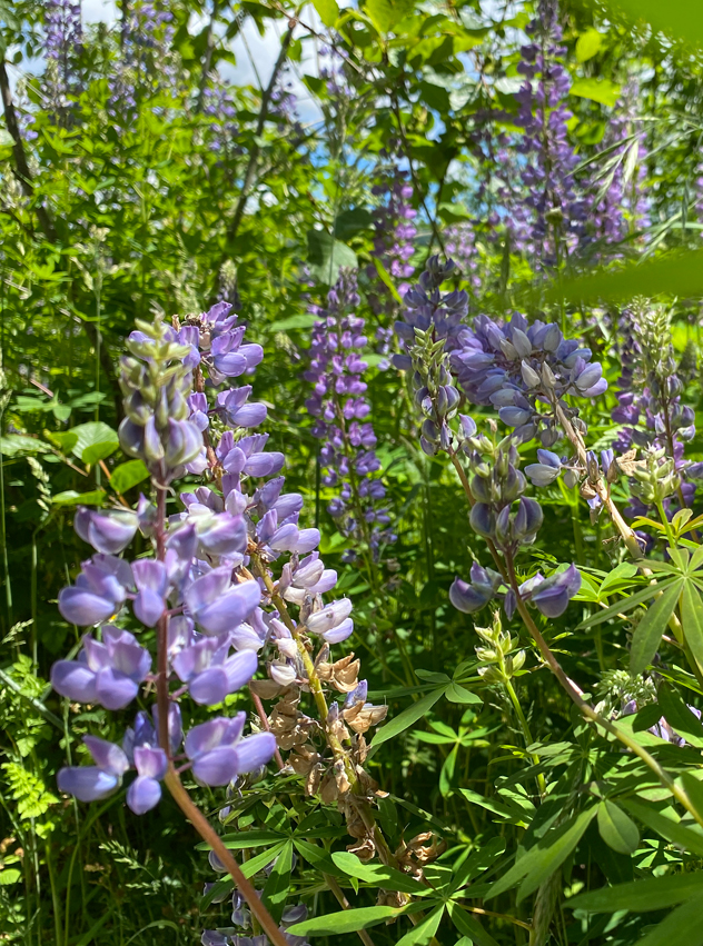
Coldwater Creek Lake.More flowers… This is lupine. Interesting fact, the lupine was the first thing to regrow after the eruption. Some of the gophers survived by being in their underground holes, and they dug their way out bringing up dirt and seeds with them.
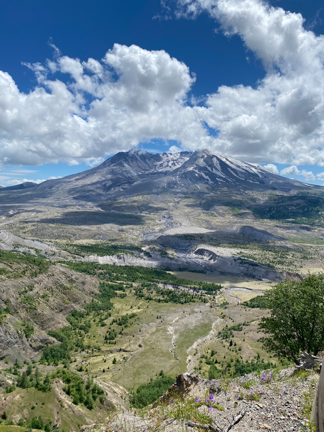
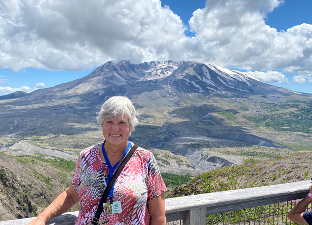
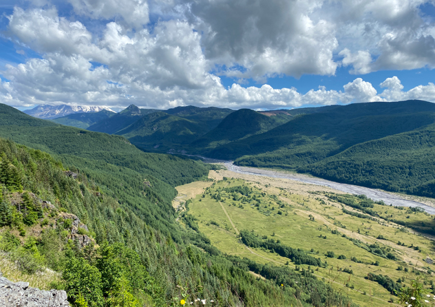
We were lucky that the clouds that were hugging to top of the mountain lifted a bit while we were at Johnson Ridge Observatory allowing us to see the entire mountain.
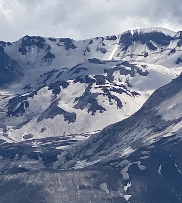
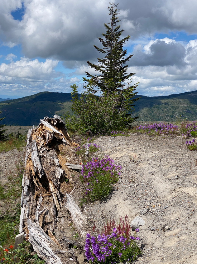
Mount Saint Helens.These are the domes still growing within the rim of the volcano. The closer dome grew right after the explosion in 1980, then things quieted down. Then in 2004, a 2nd dome behind began to grow behind the first. Our guide, Trudy, said there is also a glacier around the domes because the rim casts a shadow protecting the ice from melting in the summer.We take each other’s postcard shots.The blast from the volcano felled all the trees for miles around, and they all ended up pointing away from the blast. This old one is almost gone, and another new one is growing up beside it.Purple lupine and red Indian paintbrush.And look at that… The clouds settled back down on the top of the mountain after we left (upper left). This is the Toutle River valley where much of the pyroclastic flowed.
On the way back down, we stopped at the Mount Saint Helens Forest Learning Center, operated by Weyerhaeuser, who owns most of the land up here.
This photo shows how the eruption flattened all these trees into the same direction away from the blast. Weyerhaeuser was able to harvest all these logs after the eruption.
Back at the campground, I unhitched my bicycle and rode to downtown Cascade Locks.
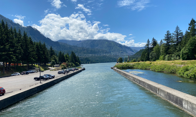
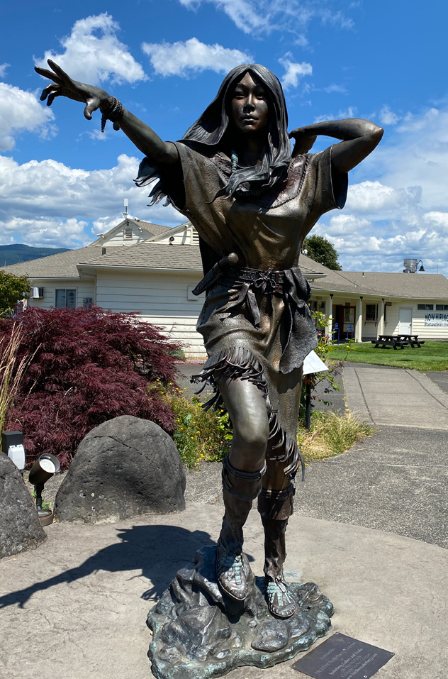
This is the old Cascade Lock. There is a foot bridge over the lock to the park on Thunder Island. They were setting up for a wedding when I visited where the guests sat looking out over the river to the mountains on the other side. Simply beautiful.Turning around to the front of the lock, I see that the Indians decided this was a good place to fish.In the same park, we all got a chuckle over this very fashionable rendition of Sacajawea.The Pacific Crest Trail comes over the Bridge of the Gods and right through Cascade Locks. So now, I’ve stepped on both the Continental Divide Trail and the Pacific Crest Trail.
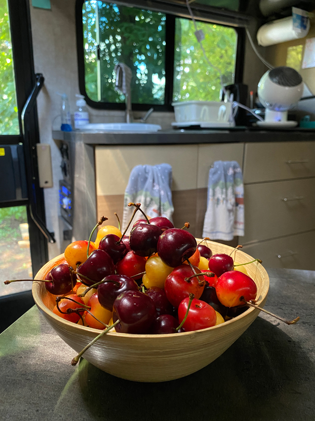
In town, I was able to pick up some smoked salmon and local cherries from The Dalles.